
Geo-Fencing
Through Geo-fencing you can set specific zones around the areas where your vehicles will be travelling. This concept is known as Geo-Fences. These virtual fences notify you if any of the vehicles move out of these zones or enter inside the zones via SMS or email.
Tata FleetMan provides a system that notifies you whenever your vehicle moves in or out of the authorized areas. These include delivery points, loading & unloading sites, warehouses, factories etc.
Different type of Geo-fences can be defined, which are as follows:
- Polygonal Geo-fence
- Circular Geo-fence
- User Point of Interests (POI)
- Polygonal Geo-fence: As per the name you can draw a polygon around the area of interest. This type of geo-fence helps to give more accurate in-out movement of the vehicles across the geo-fence
- Circular Geo-fence: This is more general type of geo-fence. In this you can draw a circle around your area of interest. This geo-fence is mostly used in trip management function to draw boundaries over larger areas like cities.
- User Point of Interest (POI): These are the points of interest you can define on the map. Many locations such as your office, garage, loading point, unloading points & plant locations may not be available on the map and hence required to be defined. Once POIs are created, you can get the location of the vehicle with respect to these POIs instead of the location from map.
Using Geo-fencing
You can access the geo-fencing facility through 'Geo-fencing' menu & sub-menus provided as shown below.
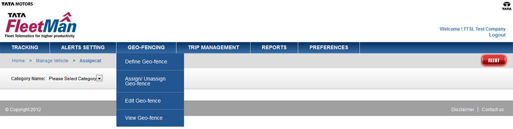
The submenus are:
- Define Geo-Fence
- Assign/ Un-assign Geo-fence
- Edit Geo-fence
- View Geo-fence