Define Geo-fence
This feature provides you facility to define Polygonal Geo-fence, Circular Geo-fence and User Point of interest (POI) through the tools provided on Google map as shown below.
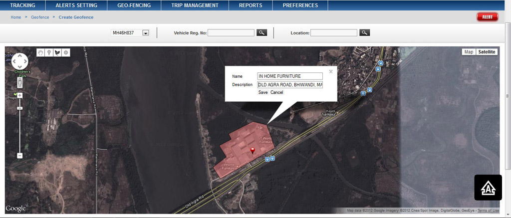
To define User Point of Interest (POI), follow the steps given below:
- Pan and zoom in the map to the area where you wish to define POI.
- Select '
 ' tool given on map utility.
 - Click on the point on map where you wish to define POI
- A flag '
 ' will appear with information bubble as shown in figure below.
 - Fill up the name of POI & its address in brief in the 'description' field as shown in figure below.
- Click 'save' button to save the POI.
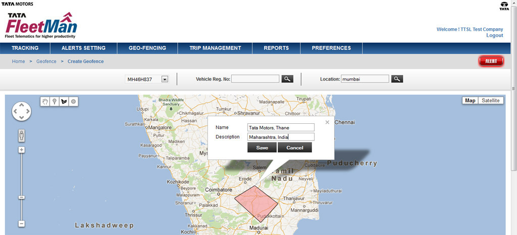
To define Polygonal Geo-fence follow the steps given below:
- Pan and zoom in the map to the area where you wish to define Polygonal Geo-fence.
- Select '
 ' tool given on map utility.
 - Draw a polygon on map by clicking points around the area on map where you wish to define Polygonal Geo-fence
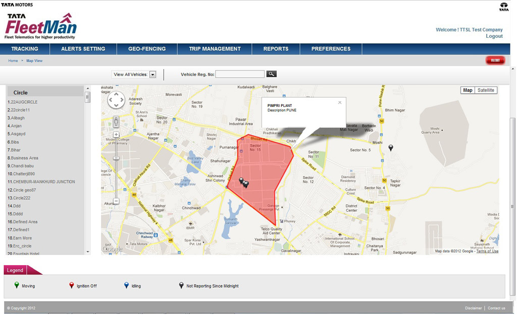
- An 'Information bubble' will appear with highlighted geo-fenced area as shown in figure below.
- Fill up the name of geo-fence & its address in brief in the 'description' field as shown in figure below.
- Click 'save' button to save the Polygonal Geo-fence.
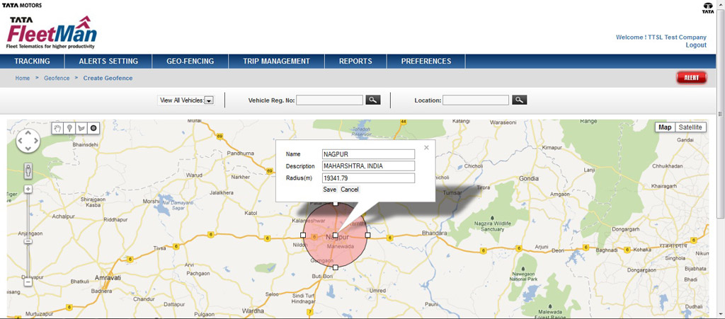
To define Circular Geo-fence follow the steps given below:
- Pan and zoom in the map to the area where you wish to define Circular Geo-fence.
- Select '
 ' tool given on map utility.
 - To draw a circle on map, click at the centre of the area on map and drag it outwards so a circle will be created as shown in figure below.
- An 'Information bubble' will appear with highlighted circular geo-fenced area with radius value in meters as shown in figure below.
- Fill up the name of geo-fence & its address in brief in the 'description' field as shown in figure below.
- Click 'save' button to save the Circular Geo-fence